infsoft Calibration
Once the building plans have been created in the Maps Editor, the indoor positioning system can be calibrated. The infsoft Calibration tool helps to set up the client-based indoor positioning based on Wi-Fi, beacons and sensor fusion.
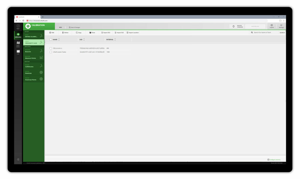
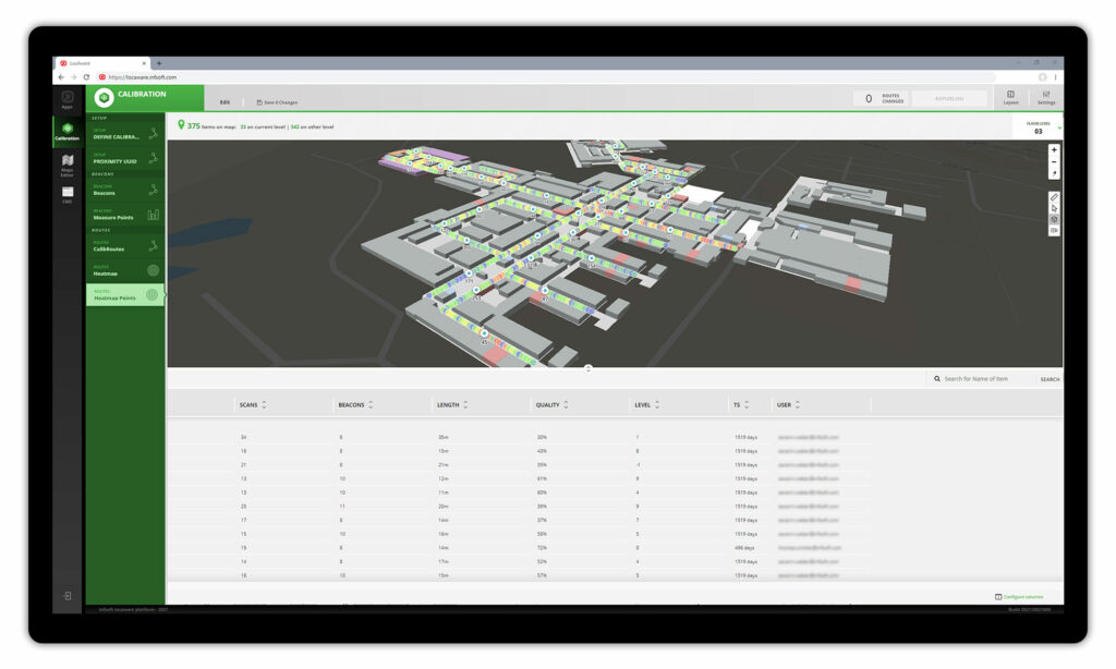
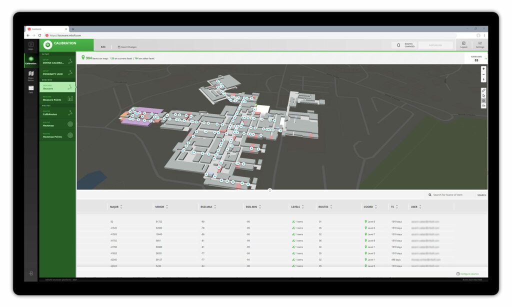
infsoft Calibration has the following functions: creating calibration routes, managing beacon proximity UUIDs, visualizing detected signal transmitters, checking heatmaps that represent the signal strength and filtering out access points or beacons that are not to be used for the project. The tool is linked to the infsoft Calibration Apps and exchanges calibration information with them.
Definition of calibration routes
The setup of the position determination (fingerprinting) is carried out by means of calibration routes, which are drawn in all areas relevant for the localization. The infsoft Calibration tool exchanges the stored routes with the linked infsoft Calibration App, which is required for the calibration procedure on site. Accordingly, an overview of the already recorded routes is always available in infsoft Calibration.


